Explained: the science behind forecasts of a colder winter in the US, Canada and Europe
Forecasters explain the atmospheric science behind early signals pointing to a colder, snowier winter across parts of the US, Canada and Europe.
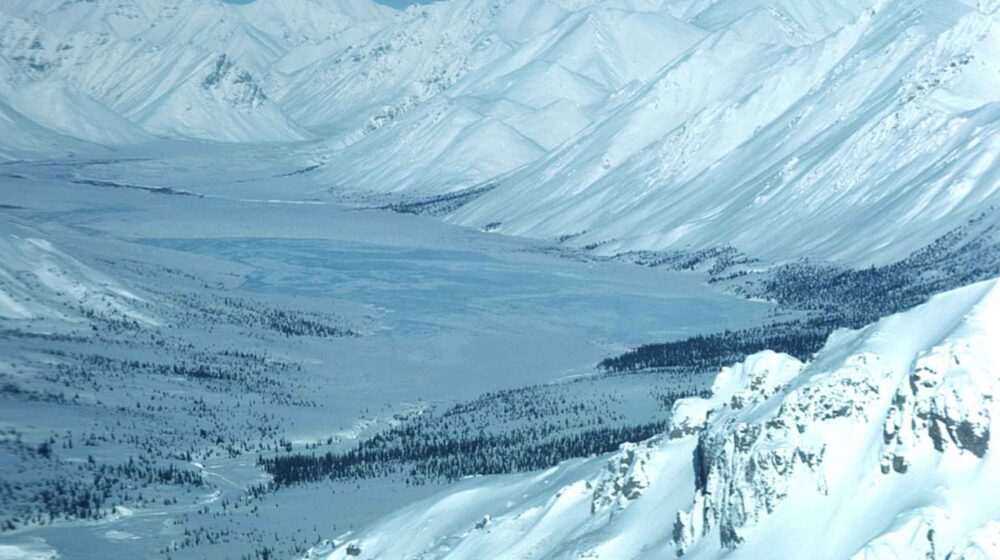
Forecasters are pointing to an unusual combination of atmospheric signals behind early predictions of a colder winter across parts of the United States, Canada and Europe this year — centred on a developing Super El Niño and its potential effect on the Polar Vortex.
The Polar Vortex is a massive area of cold, fast-spinning winds located high above the Arctic that, in a typical winter, remains strong and keeps extremely cold air confined near the North Pole. It can weaken or become disrupted, sometimes dramatically through what’s called a Sudden Stratospheric Warming event, in which temperatures high above the Arctic rise rapidly over a few days and the vortex weakens or splits, allowing cold air to spill south.
According to a long-range analysis by Severe Weather Europe, El Niño winters have historically shown a higher probability of these disruptions, especially in December and January, because a warmer tropical Pacific Ocean changes atmospheric circulation patterns worldwide. The latest seasonal forecast data suggests the current Super El Niño may create conditions favourable for a weakening Polar Vortex during January and February 2027, with stratospheric wind speeds projected to drop well below the long-term average.
The report is careful to note these are long-range projections rather than precise forecasts — large-scale climate signals like El Niño can indicate an overall seasonal trend, but cannot predict the exact timing or location of any specific cold snap or snowstorm.


Leave a Reply