314 wildfires, one pattern: aspen cover consistently slowed the spread, study finds
An analysis of 314 wildfires in the southwestern US found fire spread rates dropped sharply wherever aspen tree cover was high.
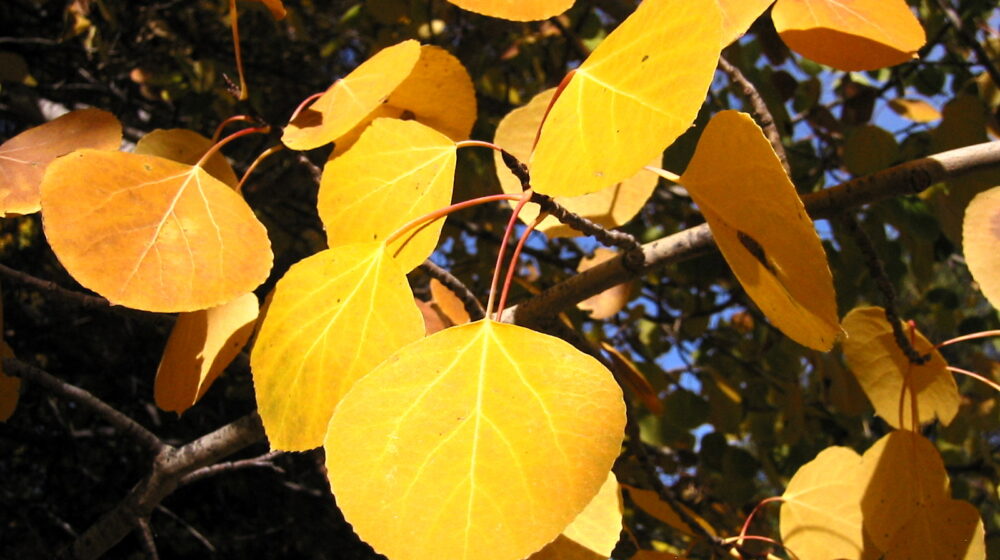
An analysis of 314 wildfires that burned across the southwestern United States between 2001 and 2020 has found a consistent pattern: fire spread rates dropped sharply wherever aspen tree cover was high, according to a study published in the journal Ecological Applications.
The research, led by teams at Western Colorado University, Colorado State University and the US Forest Service, found that where aspen cover on the landscape was below 10%, fires grew by an average of 1,112 hectares a day with a maximum spread rate of 2.1 kilometres a day. Where aspen cover exceeded 25%, those figures dropped to 368 hectares a day and 1.3 kilometres a day.
Aspen was also found to be more abundant along the very edges of burned areas than within the interior of burn zones, suggesting fires do not just slow down when they reach aspen stands — they sometimes stop or change direction entirely. Researchers attribute the effect to aspen’s higher moisture content in its foliage and understory, along with high branches and chemical differences that reduce flammability compared to resinous conifer species.
A separate study from McGill University and the Canadian Forest Service, examining wildfire data across four major Canadian forested ecozones, found the same pattern at a national scale — with the proportion of aspen at fire perimeters running more than twice as high as within burned interiors, an effect that held consistently regardless of season.



Leave a Reply